Last Updated on October 31, 2024 by Ellen
Last Updated on October 31, 2024 by Ellen
The Mazatlan malecon in Mexico is said to be one of the longest in the world – and it’s excellent. It’s a well-planned feature in this Sinaloa city that captured my heart.
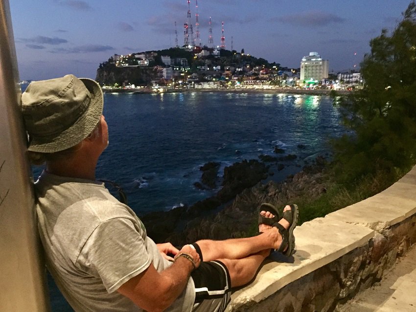
A malecon is a waterfront walkway. People walk, jog, run, roller blade, skateboard, ride bikes on this walkway, just like Tedly in this picture.
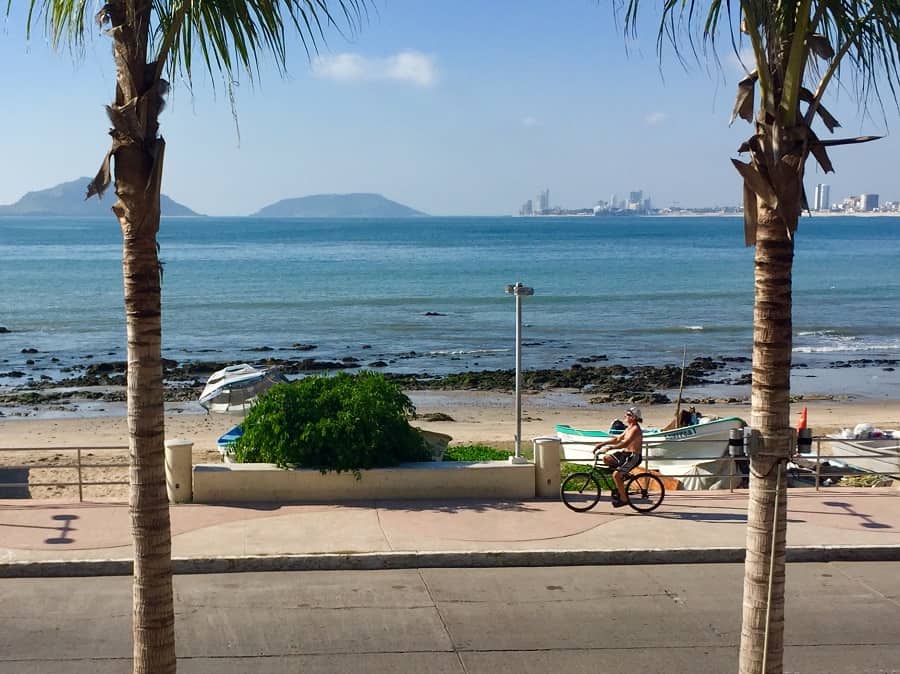
The magnificent Mazatlan malecon
Expats who live here say the federal government was behind the bike lane upgrade, as well as the construction of a few new parks, and the ground lighting in the downtown area just off the malecon — all work done during our visit in late 2017. (*Update below.)
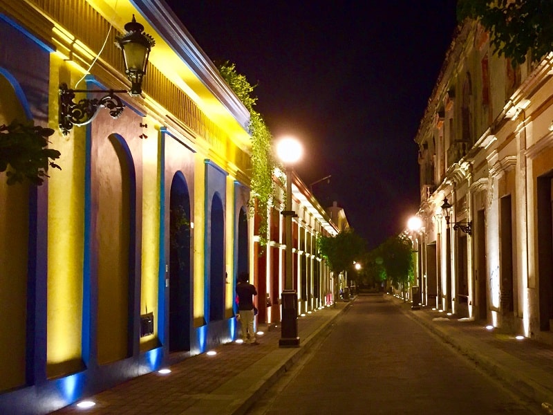
Mazatlan malecon sections
Mexican cities on the coasts have malecons, including Mahahual on the Caribbean and Puerto Vallarta on the Pacific. I’ve seen different figures on how long the malecon in Mazatlan actually is – from 5.25 to 13 miles, depending on what website you visit or who you talk to. That’s a great difference, of course, and it seems the length depends on what people count as the ‘waterfront walkway.’
(*Editor’s note: A reader who lives there reported to us in 2021 that Google maps from start to finish peg it at exactly 6.9 kilometers, or 4.28 miles. However, many people claim it is longer, when sidewalks are factored in, as stated below.)
For example, in the Golden Zone, the Mazatlan malecon is really just like a regular city sidewalk, and high rise hotels block your view of the ocean. If you simply count the distance of the actual waterfront walkway, it’s more like roughly five miles. Expats who live here agree it’s about 7.5 or eight kilometers long. That’s impressive, and long enough for the city to claim one of the longest malecons in the world. It certainly handily beats Puerto Vallarta.
I went up to Playa las Brujas on the northern edge of the city, and down to where the malecon actually starts near Cerro del Vigia on the southern end of the city. I did a combination of a bus and walking, since the waterfront walkway pretty much ends at the Golden Zone.
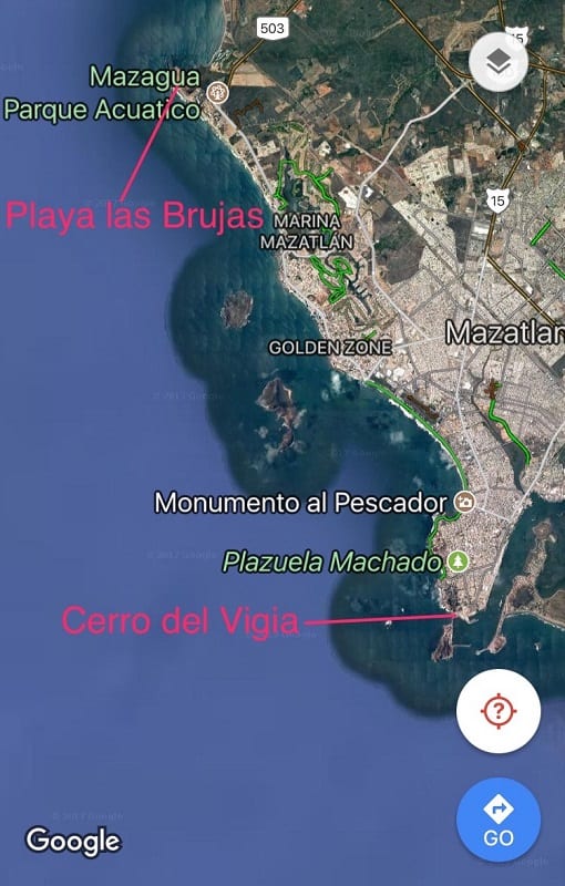
9 different sections
The nine different sections of the malecon cited most often on all the sites I’ve read are: Puntilla (Ferry Pier), El Faro (Lighthouse), Centennial, Olas Altas (Downtown area), Claussen, Avenida del Mar, Shrimp – Chad, Chad – Cerritos, Cerritos – Nuevo Mazatlan.
Want to people watch on a Saturday or Sunday evening? Head to the Olas Atlas section of the malecon.
Want to see where El Chapo was captured the second time? The building is right off the malecon on Avenida del Mar.
Want to shop for souvenirs? There’s a wide variety around the length of the malecon.
Want to get a Starbucks beverage, chomp on chicken wings or pizza – or fantastic ceviche? The chains are up in the Golden Zone, while the authentic local places are in other sections all along the malecon.
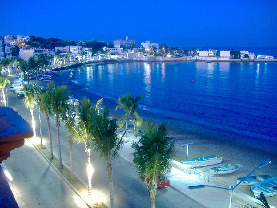
Connecting each end of the city
The malecon connects two major areas within the city: the downtown area, or Olas Atlas, and the Golden Zone, or Zona Dorado, with many hotels and chain restaurants. Beyond the Golden Zone is the marina district and Cerritos (again, with no official malecon in these areas).
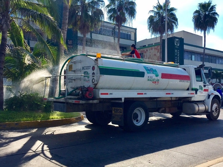
Locals take pride in this gem. Mexicans use it each day for exercise, beach trips, restaurant visits, meeting points, whatever. And every morning I saw workers cleaning it up – sweeping and collecting garbage from the previous day and night. There are garbage bins along most of the walkway, as well as many benches. In the areas with median traffic dividers between the malecon and Avenida del Mar, workers spray the plants and trees with water on a regular basis. It’s clear that the city likes to polish up her gem.
In the southern quarter portion of the malecon, there are lamps with bulbs working in every single globe. My husband Tedly was amazed at this, and frankly, so was I. We have never seen so many lights on a waterfront walkway in Mexico all working at once. The upkeep here perfect. You can see these lights in the picture below, along with something else people seek out on the Mazatlan malecon.
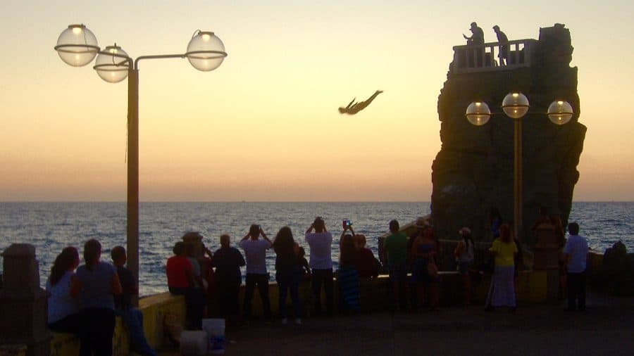
The cliff divers are just north of downtown. They jump off the top of a cliff into rocky water below. They’re crazy!
A miscalculation might land them on a huge rock. And we’ve seen the guys do this at night! They hold torches so you can follow their path to the water in the dark. Of course, they ask for money from onlookers. I’m not saying these divers make the malecon magnificent, but if you do an internet search on Mazatlán’s malecon, tourists want to know how to find the cliff divers. So I included this here.
But here is another thing that makes the Mazatlan malecon magnificent – free wifi. You need to log on through Facebook or with a SIM card, and it’s public wifi. (I have not logged on to this network, so I can’t speak to speed.)
Getting around
So how does one go about getting around this magnificent oceanfront walkway? No city bus runs the entire length of it. The buses run through downtown, several blocks inland from the water, and later join the road that runs parallel to the malecon a bit north of downtown. This means you have to walk the Olas Atlas section. Buses are an option for the other sections.
The city has newer buses with air conditioning. These buses appear longer than the older buses. They cost 11 pesos ($.57 at the time of this writing). The newer buses run on the road parallel to the malecon from the Claussen section all the way up through the Golden Zone and then on to Playa Bruja, the most northern beach in the city (see map above).
These new buses say “Sabalo / Centro” and sometimes name some other destinations on the windows and flash boards, but those two words are key. Often the new buses are green, but sometimes they are white. No matter the color, they are are noticeably longer than the older buses.
The AC buses join the waterfront headed north at Calle Benito Juarez and Paseo Claussen, and they turn off the waterfront at Calle Guillermo Neslon Nte. and Paseo Claussen.

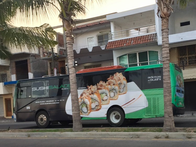
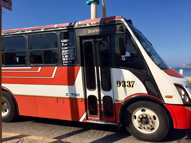
The older, shorter buses are not air conditioned, and cost 8 pesos ($.42 at the time of this writing). Only some of the old buses join the malecon where the newer ones turn onto the road – these also will say “Sabalo / Centro”, but most of the older buses go through the city away from the waterfront and join up with the oceanfront road as the Golden Zone starts, at Avenida del Mar and Avenida Rafael Buelna.
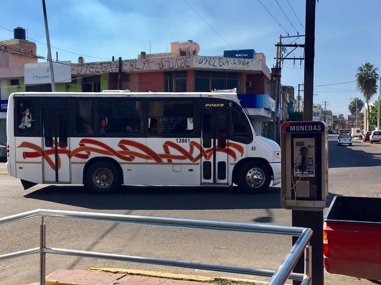
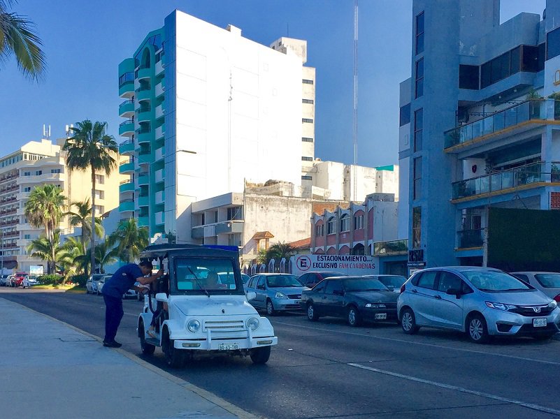
The other option to tour the Mazatlan malecon is by a pulmonia, colectivo (shared taxi) or a regular cab.
Pulmonias are open-air cabs that were created in Mazatlán. These are great for touring the area, but not so great if you have a ton of groceries and need a trunk (we used a regular cab once for that reason when we first arrived in town and needed to get ‘set up’). Pulmonias and cabs are much more expensive than buses. Prices quoted to me at theh time of this writing were at least $10 to go the length of the full malecon.

The colectivos in Mazatlan are pickup trucks with benches on the bed. It won’t go until it’s filled with people — so I don’t know how much it costs because we’ve never waited for one to fill up with all of those buses running. Sometimes they are totally packed with a group of people, with music blaring, and passengers holding open containers of beer (hey, it’s Mexico!).
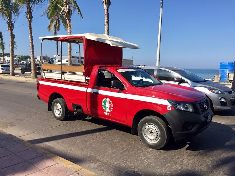
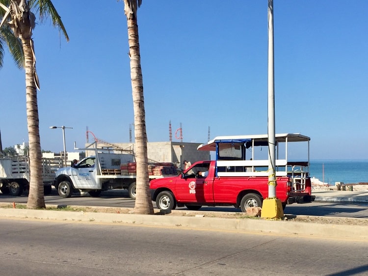
Luckily, we are here longer than the average vacationer, so we can take our time and walk, bike, jog, ride the bus, take a pulmonia, in any combination to enjoy the whole stretch.
Budget option to see the length of the Mazatlan malecon and beyond
If you want to see it all as cheaply as possible, I’d recommend a bus that says “Ferry” to get to the Embarcadero area. When the bus lets you off, head west, and you’ll eventually see where the malecon starts. It’s in front of restaurants and some boat shops and sport fishing outfits. The walkway will have street lights with three large globes I previously mentioned. Start walking, first up a hill.
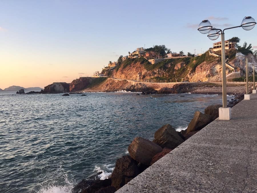
You will pass by the sunset viewing platforms, then you will walk about a block behind a few homes, bend down around by a college, and on your right you’ll see downtown. Keep walking. After downtown, you’ll see the cliff divers on the left. After more walking, the street lights go from the globe posts to regular street lights (some areas have palm trees in an middle island with lights. The next section – Claussen – starts out quiet and then becomes more active with fishermen and locals enjoying one of the most popular seafood joints El Muchacho Alegre (a great place we enjoyed, by the way). At any point between that restaurant and the Fishermen Monument, you can hop on a bus to go all the way to the Golden Zone and beyond, or, you can keep walking.
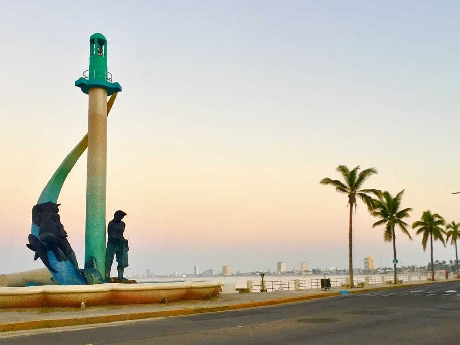
Note: there is virtually no shade on the Mazatlan malecon. Bring a hat and wear sunscreen if you plan to walk any length of this during peak UV hours.
If you take a pulmonia, try to find a driver who speaks at least some English if you don’t speak Spanish. It’s possible an English-speaking driver won’t haggle as much on price, however. But so what if it’s $10 bucks or more for a personalized tour? To get the lay of the land and support the local economy, that’s not a huge price to pay!
🙂

I live in Mazatlan.
Go to Google maps and enter the start of the malecon (Valentinos) and the end (Monumento a Pedro Infante; the malecon is exactly 6.9 kms long.
Thanks! Great place to live.
Best regards,
Ellen
I just LOVE your posts on Mazatlan! I went there for two weeks back in Jan/Feb 2010 and haven’t been back since, but think about it constantly. We stayed in Hotel La Siesta in the historic downtown and explored almost every inch. We even spent some time venturing around the Golden Zone, but I found the historic district much more charming. I would move there in a heart beat! Btw, I love Tedly’s special spot to view the historic area. I know just that spot! Keep up the wonderful stories!
Thank you Samantha! I just returned from the historic district and watched performances for Day of the Dead. It’s definitely a special place!
A great description of the malecon and good info on the buses! Another reason for all the upgrades is that Mazatlan will be hosting an international tourism expo (next year, I think) and wants to put its best face forward.
Thank you for the kind compliment, Deborah — and for the extra info!